Map (Old)
Donate
Join our Network

Modelled extent of Pre-European and contemporary grasslands of the Victorian Volcanic Plain. Enlarge Image.
GPN is conducting an audit of the grasslands of Melbourne, with the aim of recording their extent and quality and making that information publicly available through the map above. This is an ongoing project, and the maps in our map library will be regularly updated.
Incredibly, no thorough map of Melbourne’s grasslands exists. This gap shows just how under-resourced Melbourne’s grasslands are.
Grasslands are managed by a multitude of organisations, including 15 local councils, a couple of rail authorities, VicRoads, various utility companies, other government departments such as DELWP and Parks Victoria, federal authorities, as well as many private landholders.
Main photo: Looking west, Ajax Road North grassland links to Ajax Road Grassland across the road

Main photo: City views and a pleasant trail
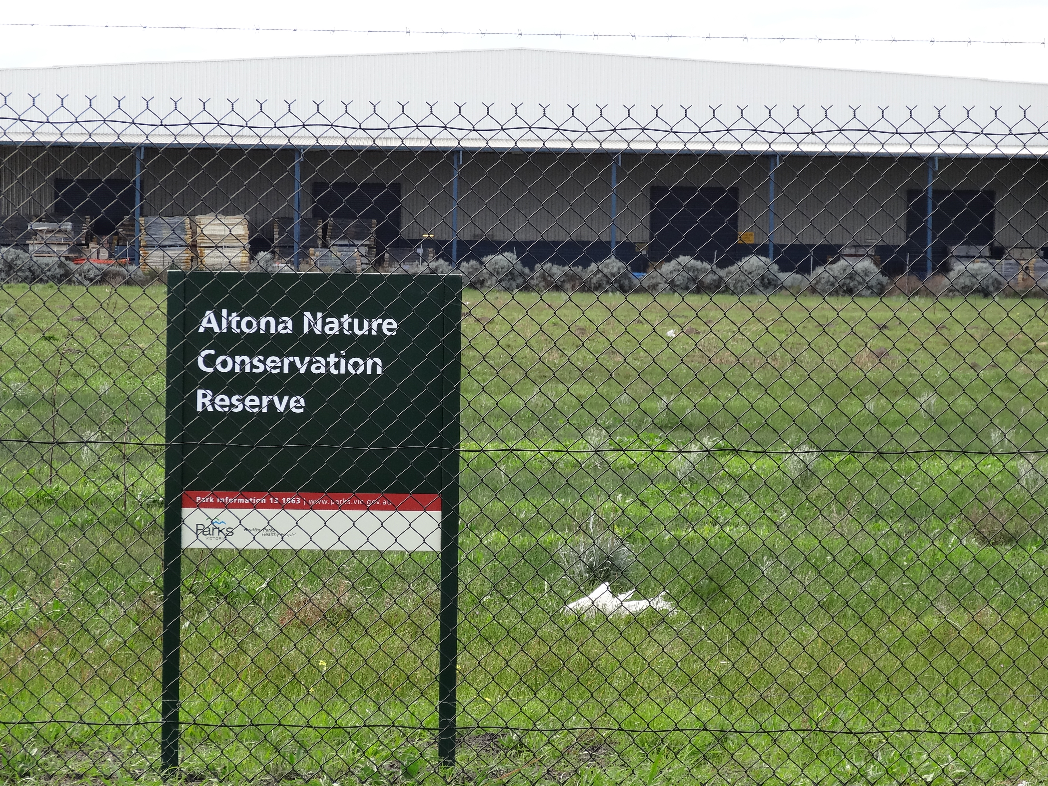
2: Hard to love a locked-away grassland
3: Predator proofing overkill
4: Views across the Maribyrnong valley

Main photo: Wetland at base of low rise, dominated by rushes, spike-sedge and grasses_© Biosis
2: Wetland at the western end of the northern drainage option_© Biosis
3: Wetland dominated by Brown Backed Wallaby-grass and Common Spike Sedge_© Biosis
4: A small stand of River Red Gum constitutes the only Plains Grassy Woodland on the Reserve_© Biosis
5: Dominated by Kangaroo Grass_© Biosis
6: Gorse infestation around an otherwise high-quality remnant Plains Grassland dominated by Kangaroo Grass and herbs_© Biosis
7: Plants along the northern drainage corridor_© Biosis
8: plants along the southern drainage corridor_© Biosis
9: Poor quality Plains Grassland dominated by Wallaby-grass and Spear-grass, habitat for Golden Sun Moth_© Biosis

Main photo: Partly confined channel with basalt boulder riffle_© Jacobs
2: Drained section of Aitken Creek Main Channel east of Mickleham Road_© Jacobs
3: Mature trees along Aitken Creek_© Jacobs

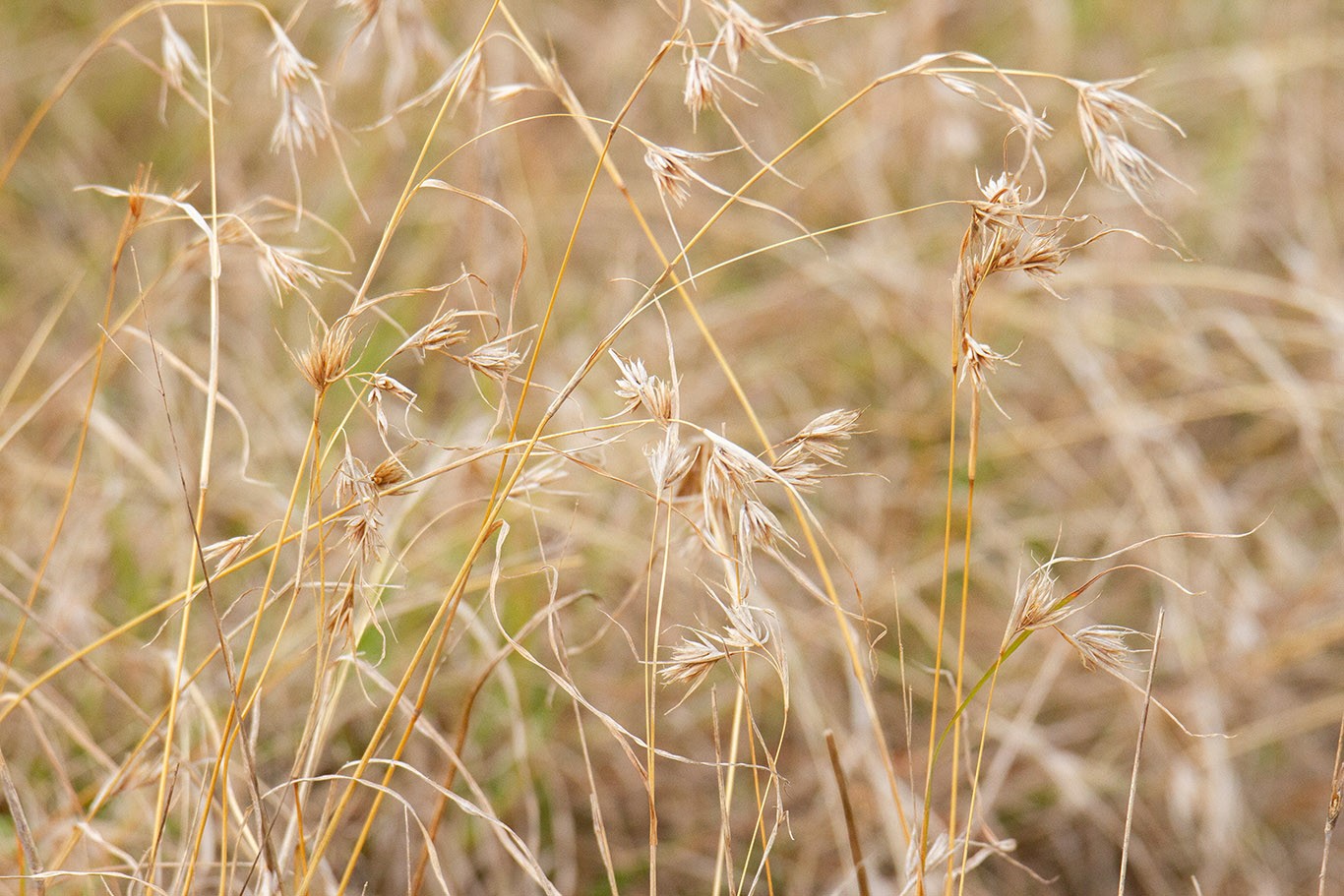
Main photo: Looking east, over the edge of Truganina Swamp, and rare salt-tolerate Kangaroo Grass
2: A vast sea of Kangaroo Grass
3: Embedded rock, never ploughed
4: Expanse of Kangaroo Grass less obvious now after several years of La Nina
5: Looking north from a management track on the southern edge
6: Looking west
7: Occasionally waterlogged
8: On a residential street, passive recreation could provide a positive buffer
9: The grassland interface is unsightly here, with dumping and rampant weeds
Main photo: Heavily fenced, this offset protects Spiny Rice-flower
2: Regularly managed

Main photo: Grassland integrated with local play space
2: Edge shows care
3: Good-quality grassland, well managed
4: Stylish fencing lifts the interface
5: Well thought-out signage
%20Nature%20Conservation%20Reserve/Little%20attention%20paid%20to%20presentation%20in%20this%20industrial%20area_main.JPG)
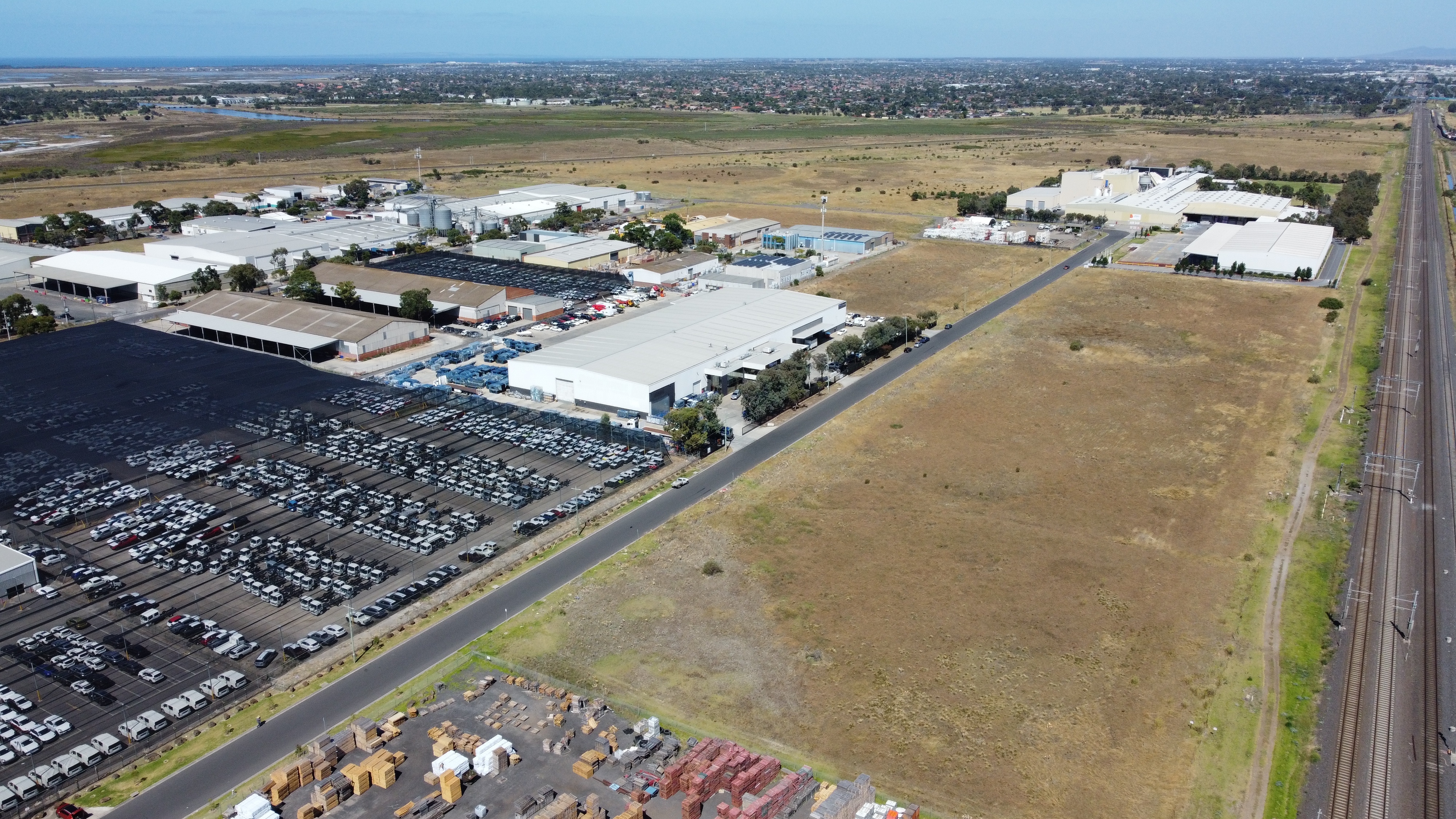
Main photo: Little attention paid to presentation in this industrial area
2: Dense expanse of Kangaroo Grass
3: Firebreaks and heavy, exclusionary fencing
4: Weeds rife in places

Main photo: The estate turns its back on the grassland behind its rear fences
2: A playground is integrated into the grassland
3: Drumstick flowers and pollinator_Photo Dee Smith
4: Running Postman_Photo Dee Smith
5: Spur Velleia_Photo Dee Smith
6: The entry does little to suggest a grassland is present
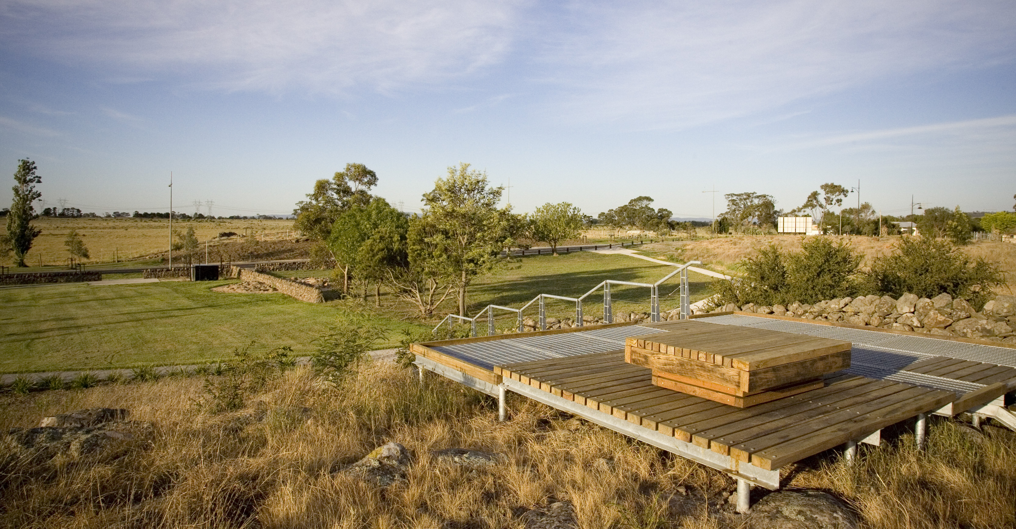
Main photo: Viewing platforms and grassy stony rises are a feature of the Aurora estate
2: Grassheads, stone walls and light fencing
3: Grassland is well-presented and supported by passive open space
4: More maintenance needed to control shrubs
5: Strong nature-based play next to a grassland

Main photo: The Reserve protects Grassy Eucalypt Woodland such as this
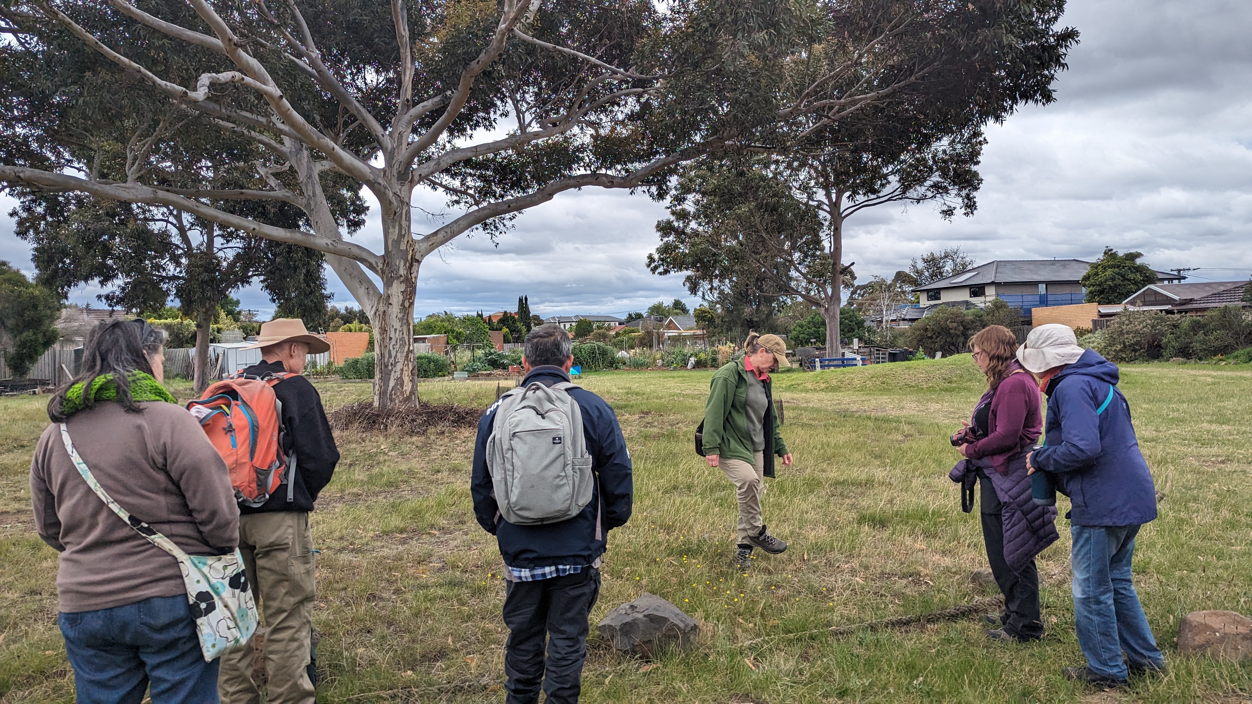
Main photo: A grassland circle remains beneath this tree

Main photo: With a well-placed bike path and public open space adjacent, the grassland sits easily on Merri Creek
/Herb-rich%20in%20places,%20with%20River%20Red%20Gums%20lining%20the%20creek,%20and%20good%20management%20over%20many%20years_main.jpg)
Main photo: Herb-rich in places, with River Red Gums lining the creek, and good management over many years
2: Underwhelming signage