Map (Old)
Donate
Join our Network

Modelled extent of Pre-European and contemporary grasslands of the Victorian Volcanic Plain. Enlarge Image.
GPN is conducting an audit of the grasslands of Melbourne, with the aim of recording their extent and quality and making that information publicly available through the map above. This is an ongoing project, and the maps in our map library will be regularly updated.
Incredibly, no thorough map of Melbourne’s grasslands exists. This gap shows just how under-resourced Melbourne’s grasslands are.
Grasslands are managed by a multitude of organisations, including 15 local councils, a couple of rail authorities, VicRoads, various utility companies, other government departments such as DELWP and Parks Victoria, federal authorities, as well as many private landholders.
Unnamed_006, Western Grassland Reserve
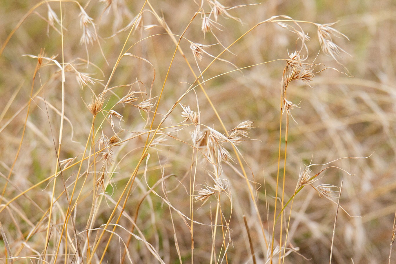
The Western Grassland Reserve, part of state-federal Melbourne Strategic Assessment (MSA), is failing to deliver promised conservation outcomes due to poor set-up and implementation. Only 18% acquired. Weeds proliferating. Complex management issues. Huge, urgent restoration effort required to save remaining recoverable, good-quality grassland. Some praiseworthy recent progress by reinvigorated team.