Map (Old)
Donate
Join our Network

Modelled extent of Pre-European and contemporary grasslands of the Victorian Volcanic Plain. Enlarge Image.
GPN is conducting an audit of the grasslands of Melbourne, with the aim of recording their extent and quality and making that information publicly available through the map above. This is an ongoing project, and the maps in our map library will be regularly updated.
Incredibly, no thorough map of Melbourne’s grasslands exists. This gap shows just how under-resourced Melbourne’s grasslands are.
Grasslands are managed by a multitude of organisations, including 15 local councils, a couple of rail authorities, VicRoads, various utility companies, other government departments such as DELWP and Parks Victoria, federal authorities, as well as many private landholders.
Aurora Grasslands and Grassy Woodlands
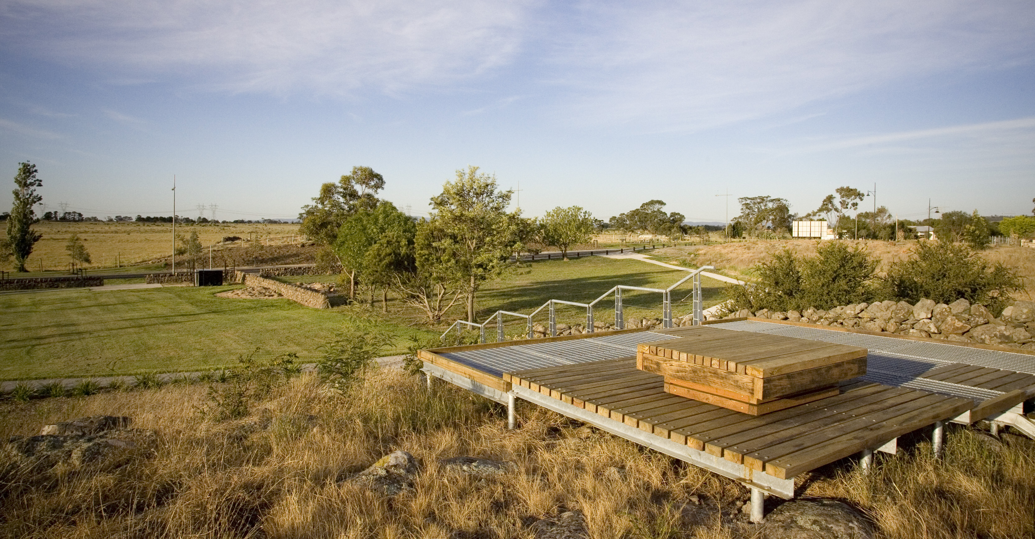


Numerous grassland patches, often stony rises, and Grassy Woodland integrated into Aurora residential estate. Adjacent to passive recreation, play spaces, BBQ facilities, shelters, lookouts and local, accessible place-making. Some degradation through poor management. Melbourne's best example of urban design for grassland conservation.
Main photo: Viewing platforms and grassy stony rises are a feature of the Aurora estate
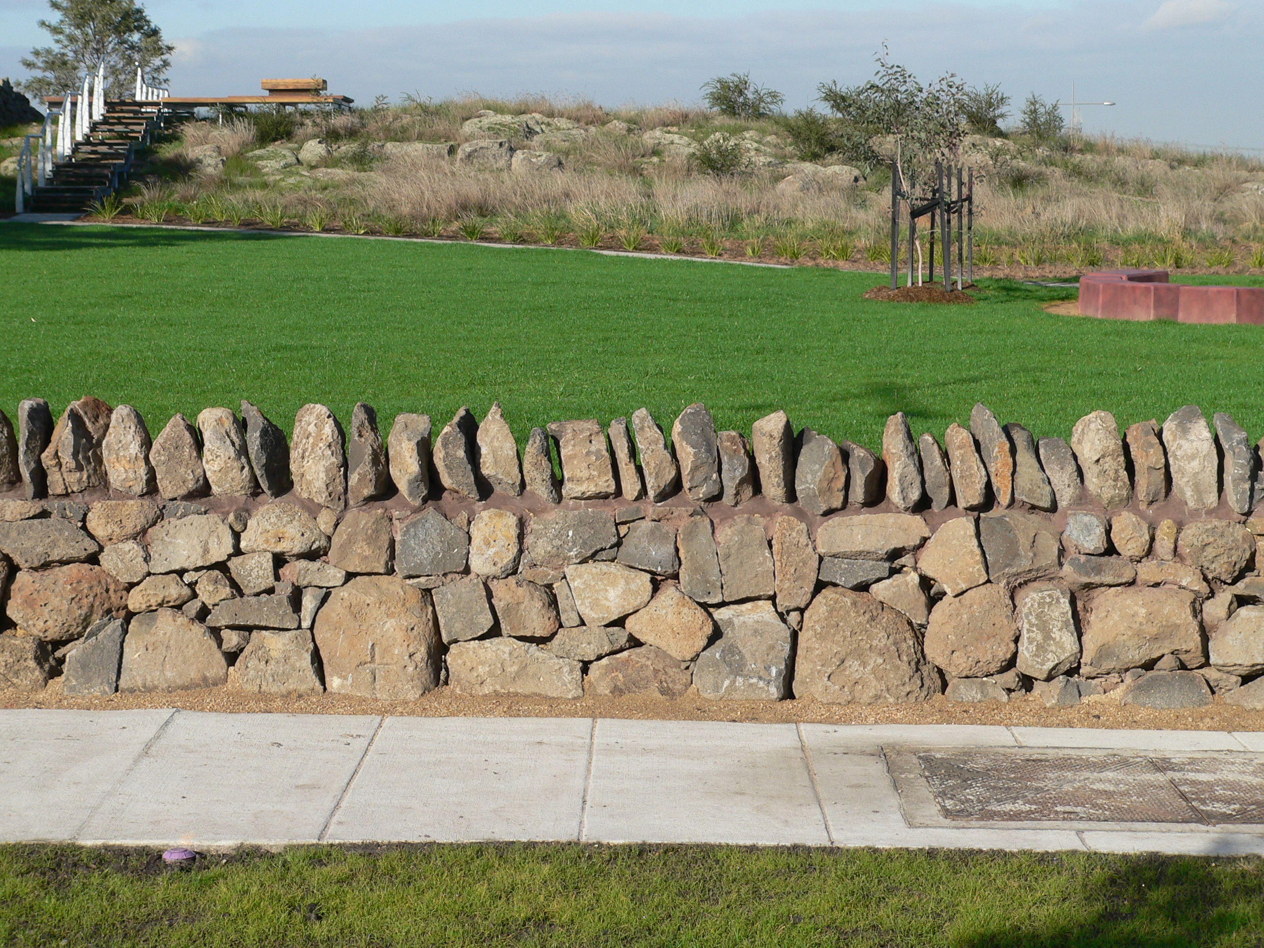
2: Grassheads, stone walls and light fencing
3: Grassland is well-presented and supported by passive open space
4: More maintenance needed to control shrubs
5: Strong nature-based play next to a grassland